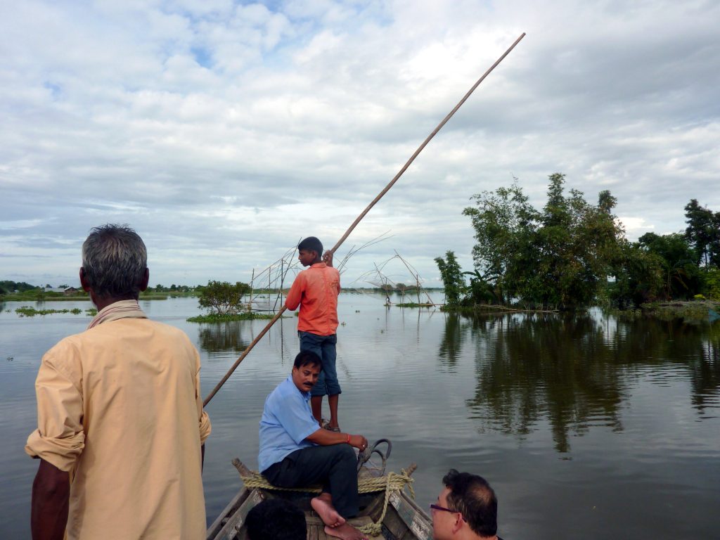
Assam’s flood death toll has crossed 100, with 700,000 people displaced and 1.2 million impacted overall as the extent of the disaster continues to grow clearer.
Roughly 2,700 villages have been destroyed, with the Sivasagar district of upper Assam among the worst hit, along with Mon district just across the border in Nagaland.
The floods followed intense rainfall in the Naga Hills between July 18 and 20, which sent sudden surges down tributaries into Assam’s low-lying areas.
A local vlogger recounted the scale of destruction, describing trees 30 to 40 metres tall crashing down from the hills and homes being completely wiped out, calling the event “a tsunami.”
While government officials blame excessive rainfall and climate change for the disaster’s severity, opposition legislators and researchers say unregulated riverbed mining has made the flooding worse.
Among the tragic stories to surface is that of two friends from different faiths who died together, after a Hindu man drowned trying to rescue a Muslim woman swept up in the floodwaters.
Researchers point to unrestrained stone mining along riverbeds such as the Dikhow as a contributing factor, arguing it has stripped away the natural cushioning that once absorbed flood surges.
Deforestation data shows Nagaland lost 14 percent of its tree cover between 2002 and 2025, with Mon district among the worst affected, a factor experts say has worsened runoff into Assam’s rivers.
Government officials have attributed the scale of the disaster primarily to unusually intense rainfall and climate change, while opposition legislators have pushed back, blaming unregulated mining operations.
The Brahmaputra river’s heavy sediment load steadily weakens embankments over time, and nearly 40 percent of Assam’s total land area is considered vulnerable to flooding in a typical monsoon season.
Assam floods almost every year during the monsoon, but this year’s disaster was unusual in that floodwaters from cloudburst-driven tributary surges arrived before the Brahmaputra itself reached peak levels, catching low-lying areas off guard.
Photo by EU Civil Protection and Humanitarian Aid, Wikimedia Commons, CC BY-SA 2.0
Discover more from Times Release
Subscribe to get the latest posts sent to your email.