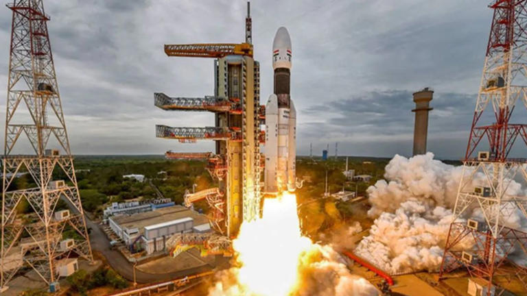
After launching two demo satellites, “Iteration-1” and “Iteration-2,” with the SpaceX Falcon-9 rocket off Cape Canaveral in the US. Bengaluru startup PIXXEL is ready to launch its third and final most satellite to be recognised as ANAND in space on November 26 . Satellites are basically man made tools which are sent into space to see the ongoing conditions , the phase of meteriods , comets and to estimate the difference between the specific planet and these meteriods for future safety . It works on hyperspectral method i.e sends high quality images from space to reveal the current scenario there.
ANAND is a hyperspectral satellite which is capable of collecting detailed images of the Earth. Eventually, with the help of Indian Space Research Organisation’s (ISRO) Polar Satellite Launch Vehicle (PSLV) they are ready to launch ANAND into space from the soil of our country. It weighs less than 15 kg but it can take over a high range of wavelength i.e upto 150 or more. The satellite is fulfilled on its own and can serve multiple purposes like it can detect the gases present in that atmosphere, pest infestations, underground oil , methane leaks and much more.
There are basically three types of imaging possible from space: red-green-blue imaging, multispectral imaging, and hyperspectral imaging. Hyperspectral imaging collects the data of hundreds or more than it of wavelengths. It captures specific information and analyzes data from the whole electromagnetic spectrum.
The core aim of hyperspectral imaging is to capture the spectrum for every tiny pixel present in an image, which can help discover objects and identify materials in an image, which might not be possible in regular types of spectral imaging. It also reveals crucial details on various nutrients present in the soil and also tells us about the variety of soils present on other planets. It also holds promise for potential use in the environmental sector, as it could be used to detect oil spills and gas leaks and further tells us about the atmospheric conditions prevailing there .
Their main aim is to provide information about clouds, oceans, land and ice. They also measure gases in the atmosphere, such as ozone and carbon dioxide, and the amount of energy that Earth absorbs and emits. And satellites monitor wildfires, volcanoes and their smoke. They want to built 24 commercial hyperspectral satellites in space and have a complete constellation (i.e arrangement like stars ) of satellites which will allow Pixxel to ensure global coverage for these. They took the estimated launch time to be in mid-2023. First hyperspectral satellite is on its way to launch and rock soon .


